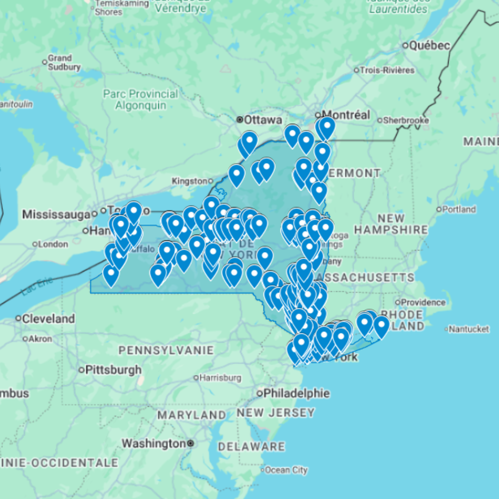
Urbex Map New York – Urban Exploration USA GPS Map
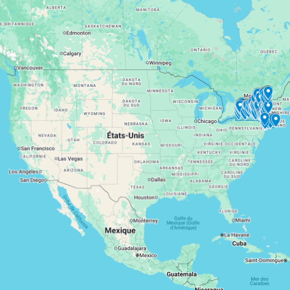
The Urbex Map New York is a detailed and structured abandoned places map covering the entire state of New York. It compiles 712 verified urban exploration spots into a practical and easy-to-use GPS file format.
Instead of spending hours searching through outdated forums, scattered coordinates, or unreliable online sources, this urban exploration map centralizes essential location data into one organized digital database. Each entry helps explorers quickly identify potential abandoned buildings and plan photography sessions or exploration routes efficiently.
This urbex map includes a wide range of urban exploration spots such as industrial sites, former public buildings, forgotten infrastructure, and historic properties. By using a structured GPS map, explorers can significantly reduce research time and organize their exploration routes more effectively.
For urban explorers, photographers, filmmakers, and content creators, having a reliable abandoned places map of New York provides a valuable advantage for planning documentary work and visual storytelling.
Cities & Regions Included
- 🗽 New York City & Surroundings : The New York City region includes abandoned industrial buildings, former hospitals, and disused infrastructure linked to the city’s long industrial and maritime history. Some locations reflect historic urban transformations and provide striking architectural environments.
- 🌆 Buffalo & Western New York : Western New York contains numerous abandoned factories, warehouses, and industrial plants from the region’s manufacturing past. These sites often feature large interiors, rusted machinery, and dramatic industrial atmospheres.
- 🏭 Albany & Capital Region : The Capital Region offers a mix of former institutional buildings, warehouses, and historic properties. Many locations highlight the evolution of regional infrastructure and administrative facilities.
- 🌲 Upstate & Rural New York : Outside major cities, rural areas include abandoned farmhouses, isolated schools, and small industrial structures. These locations often combine architectural decay with natural overgrowth, creating visually unique exploration environments.
Types of Spots Included
This urbex map includes a wide variety of abandoned locations such as hospitals, factories, warehouses, mansions, schools, hotels, industrial plants, office buildings, transportation facilities, and former institutional buildings. Some entries feature large industrial complexes, while others highlight smaller forgotten buildings with historical or architectural significance. The diversity of locations provides excellent opportunities for photography, filming, and urban exploration documentation.
Why Choose This Urbex Map?
✔️ Verified and organized abandoned locations
✔️ Structured digital GPS format
✔️ Instant access after purchase
✔️ Saves extensive research time
✔️ Large structured database (712 spots)
✔️ Designed for serious urban explorers and content creators
Technical Specifications
File Format: .KML / .KMZ
Instant Digital Download
Compatible with Google Earth
Compatible with Google My Maps
Works on Desktop & Mobile Devices
Digital Product Only (No physical item shipped)
How to Install
- Complete your purchase and download the .KML or .KMZ file.
- Open Google Earth or go to Google My Maps in your browser.
- Import the downloaded file into the platform.
- Browse the GPS locations and plan your exploration routes.
Installation takes less than two minutes and works on both desktop and mobile platforms.
Reviews
There are no reviews yet.