

Urbex Map Canada by Province
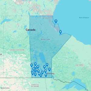
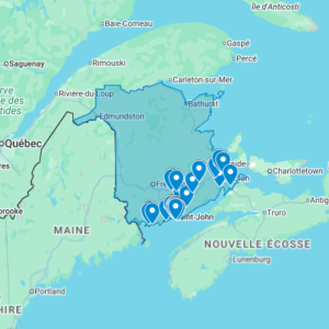
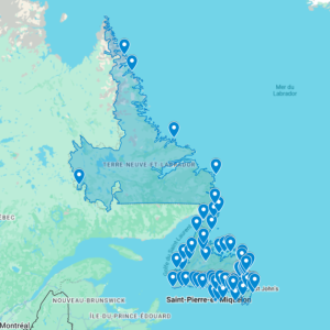
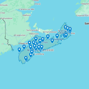
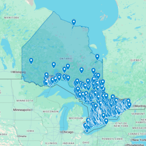
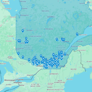
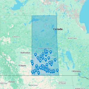
Browse UrbexObsession Canada urbex maps by province and choose the abandoned places GPS map that matches your next research area. Each available province map is built for Google Earth / Google My Maps planning, with clear regional coverage and instant digital access.

Abandoned Places Maps Across Canada
Urban exploration in Canada covers very different landscapes: post-industrial corridors in Ontario, historic sites in Quebec, remote rural abandonments, coastal infrastructure, and resource towns across several provinces.
Our Canada urbex maps help explorers research abandoned locations without spending hours piecing together scattered sources. Each map is organized by province and uses GPS-ready files to support route planning in Google Earth or Google My Maps.
Whether you are comparing Ontario, Quebec, British Columbia, Alberta, Manitoba, or smaller province maps, this page helps you move from country-level research to the right regional product page.
-
-
-
-
-
-
-
-
Sale!
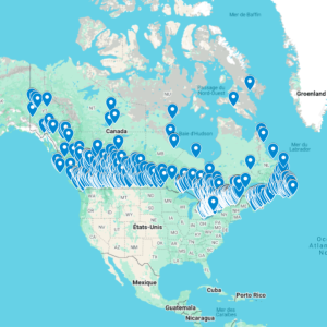
Urbex Map Canada – Urban Exploration map
Original price was: 70,00 $.55,00 $Current price is: 55,00 $.
Discover Urban Exploration Across Canada
Urban exploration in Canada offers a huge variety of abandoned places. From forgotten hospitals and empty factories to abandoned schools and historic buildings, every province has unique locations to explore.
Our Canada urbex maps are designed to help you find reliable abandoned spots without spending hours searching online. Each map is organized by province and contains accurate GPS coordinates to make your exploration easier and more efficient.
Whether you’re looking for industrial ruins in Ontario, abandoned buildings in Quebec, or remote exploration spots in British Columbia, our maps provide a simple way to discover new places.
Available Canada Urbex Maps
We currently offer urbex maps for several provinces, including Ontario, Quebec, British Columbia, Alberta, Manitoba, Nova Scotia, Saskatchewan, and New Brunswick. Check each product page for the exact number of abandoned locations and file details.
Designed for Urban Explorers
These maps are made for both beginners and experienced explorers who want fast and easy access to new locations. Instead of searching through forums or social media, you get structured and ready-to-use data.
Each map is simple to use, clearly organized, mobile-friendly, and designed to help you plan your explorations efficiently.
What You’ll Find Inside
Our maps include many types of abandoned locations such as hospitals, factories, schools, hotels, warehouses, residential buildings, and industrial sites. This diversity allows you to explore different types of places depending on your interests.
Easy-to-Use GPS File
After purchase, you receive digital map files such as KML or KMZ, depending on the product. These formats are commonly used for mapping and GPS research and can be imported into compatible tools such as Google Earth and Google My Maps.
Once imported, all locations appear instantly on your map. This allows you to save time, plan routes, organize trips, and access coordinates directly from your phone.
Explore More, Search Less
Our goal is to help you spend less time searching and more time exploring. By grouping abandoned locations into clear and structured maps, you can focus on discovering new places and planning your next urbex adventure.
Canada Urbex Maps FAQ
Are the maps organized by province?
Yes. This page groups Canada abandoned places maps by province so you can start with the region you plan to research.
Can I use them with Google Earth?
Most Canada province products are built for GPS-ready planning tools such as Google Earth or Google My Maps. Check the individual product page for exact file details.
Which province should I choose first?
Start with your travel area, then compare the product page coverage and number of abandoned locations before buying.
For a high-volume province, see the Ontario urbex map. New to map files? Read how to install your urbex map.