Urbex Map Ohio – Urban Exploration USA GPS Map
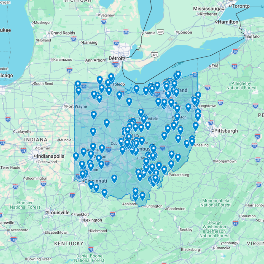
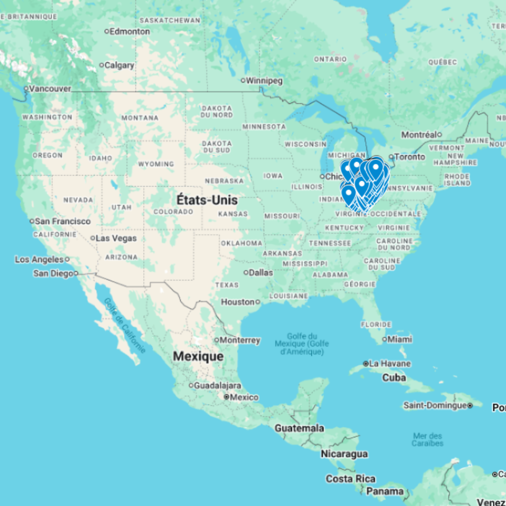
The Urbex Map Ohio is a detailed and structured abandoned places map covering the entire state of Ohio. It compiles 332 verified urban exploration spots into an organized and easy-to-use GPS file format.
Instead of spending hours browsing outdated forums, scattered coordinates, or unreliable sources, this urban exploration map centralizes essential data into one structured digital database. Each location is organized to help you identify potential abandoned buildings and plan your photography sessions or exploration routes efficiently.
This urbex map includes a wide range of urban exploration spots such as industrial facilities, former public buildings, and forgotten infrastructures. By using a structured GPS map, you save valuable research time and improve route planning, allowing you to focus on documentation, filming, or creative work.
For serious explorers, photographers, and content creators, having a reliable abandoned places map of Ohio transforms random searching into strategic exploration planning.
Cities & Regions Included
- Cleveland Area : The Cleveland region features former industrial sites, warehouses, and large abandoned factories linked to Ohio’s manufacturing history. These locations often offer strong architectural character and expansive interiors ideal for industrial photography.
- Columbus & Central Ohio : Central Ohio includes disused commercial buildings, former schools, and smaller industrial complexes. The variety of structures makes this region suitable for diverse urban exploration projects.
- Cincinnati & Southern Ohio : Southern Ohio contains abandoned industrial plants, storage facilities, and older institutional buildings. Many sites reflect historic economic shifts and provide textured environments for documentary-style exploration.
- Rural Ohio : Outside major cities, rural areas feature abandoned farmhouses, isolated schools, and small forgotten facilities. These locations often provide a quieter atmosphere with natural overgrowth and unique visual compositions.
Types of Spots Included
This urbex map includes a diverse range of abandoned locations such as hospitals, factories, warehouses, mansions, schools, hotels, industrial plants, office buildings, and transportation-related structures. Some entries consist of large industrial complexes, while others highlight smaller abandoned buildings with architectural or historical interest. The variety of urban exploration spots ensures multiple opportunities for photography, filming, and location scouting.
Why Choose This Urbex Map?
✔️ Verified and organized abandoned locations
✔️ Structured digital GPS format
✔️ Instant access after purchase
✔️ Saves extensive research time
✔️ Large structured database (332 spots)
✔️ Designed for serious urban explorers and content creators
Technical Specifications
- File Format: .KML / .KMZ
- Instant Digital Download
- Compatible with Google Earth
- Compatible with Google My Maps
- Works on Desktop & Mobile Devices
- Digital Product Only (No physical item shipped)
How to Install
- Complete your purchase and download the .KML or .KMZ file.
- Open Google Earth or access Google My Maps via your browser.
- Import the downloaded file into the platform.
- Browse the GPS locations and plan your exploration routes.
Installation takes less than two minutes and works on both desktop and mobile platforms.
Responsible Exploration Notice
This product is provided for documentary and informational purposes only. Users are responsible for complying with all applicable local laws and regulations. Always respect private property and restricted areas. Responsible and ethical exploration practices are strongly encouraged.


Reviews
There are no reviews yet.